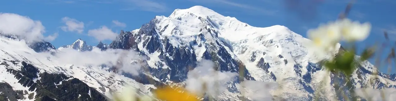
Tour du Mont Blanc
Detailed itineraries, refuge guides, and everything you need to know to hike around Mont Blanc.
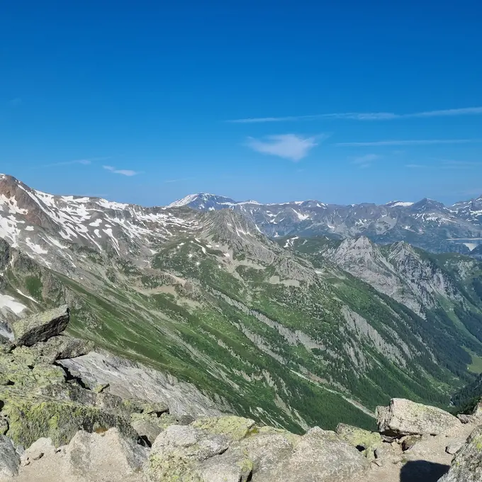
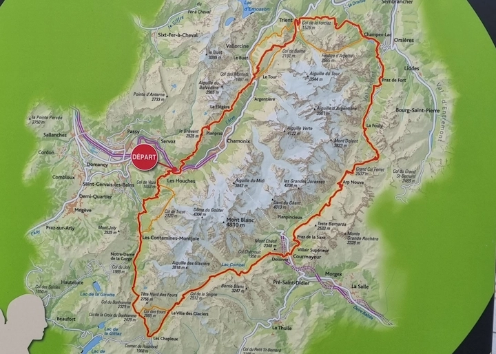
Tour du Mont Blanc Itineraries
Stages, variants, and complete itineraries around Mont Blanc - with real field data.
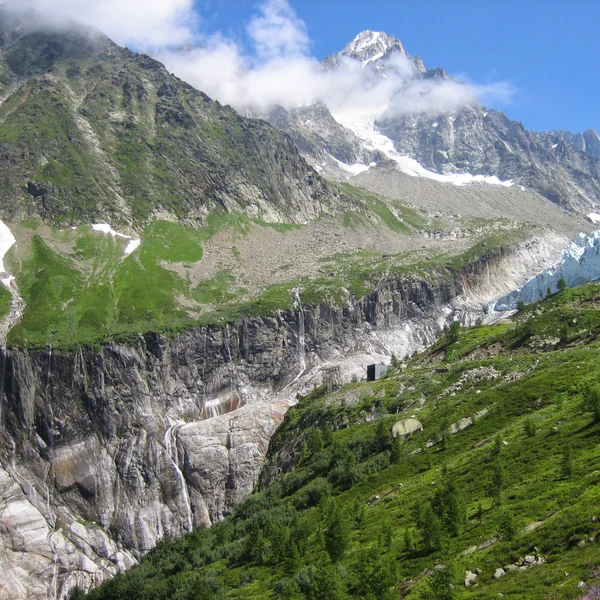
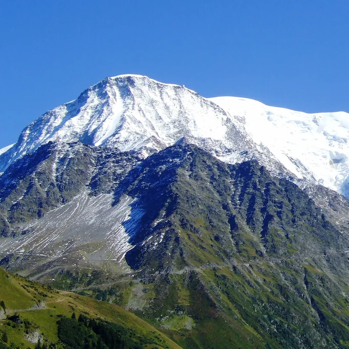
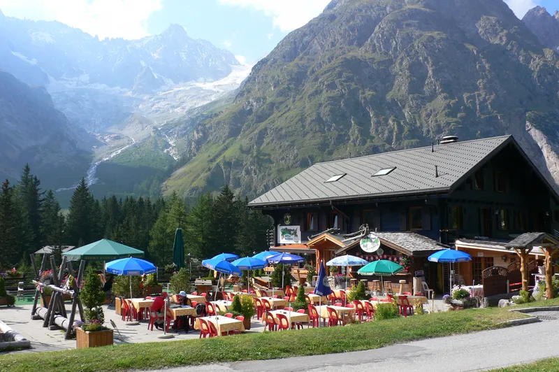
The Argentière Glacier
A spectacular half-day detour from Argentière to one of the largest glaciers in the Mont Blanc massif. Direct views of the seracs and moraine at 2,000 m6,562 ft altitude.
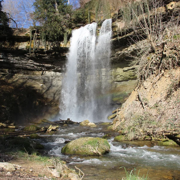
The Cascade du Dard
The Cascade du Dard is a short forest hike near Les Houches leading to a 30 m98 ft waterfall in a narrow gorge. An ideal rest-day excursion from the TMB, suitable for families.
Tour du Mont Blanc in 7 Days
The classic TMB itinerary in 7 stages through France, Italy, and Switzerland. 157 km97.6 mi of spectacular trails around the Mont Blanc massif.
Tour du Mont Blanc in 10 Days
The TMB itinerary in 10 stages to fully enjoy the alpine scenery. A comfortable pace through France, Italy, and Switzerland.
The Col de Tricot
The Col de Tricot variant offers a spectacular alternative with direct views of the Bionnassay glacier.
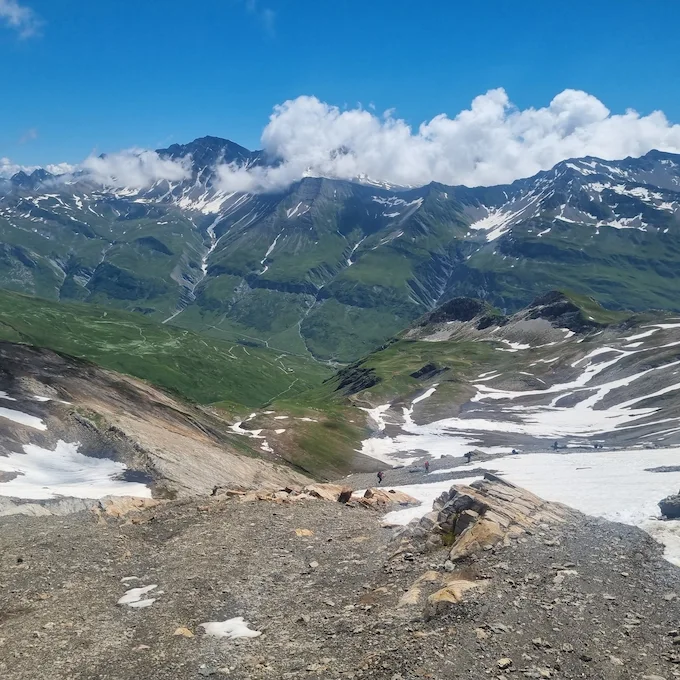
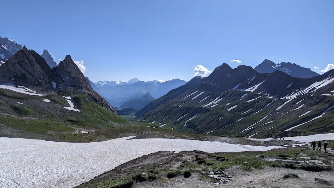
The Col des Fours
The Col des Fours variant reaches 2,665 m8,743 ft and offers exceptional panoramic views of the Mont Blanc massif.
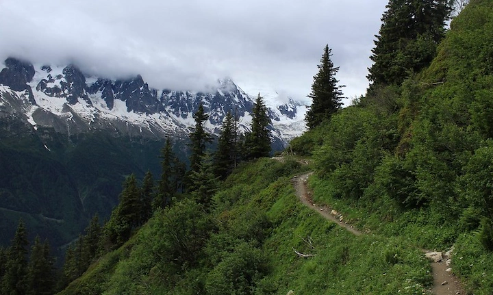
The Col des Montets
The Col des Montets variant crosses the Aiguilles Rouges Nature Reserve between Argentière and Vallorcine, with panoramic views of the Mont Blanc massif from the opposite side of the Chamonix valley.
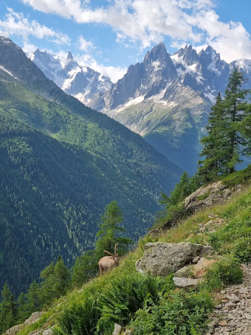
The Fenêtre d'Arpette
The most spectacular alpine variant on the TMB. A wild pass at 2,665 m8,743 ft offering stunning views of the Trient Glacier.
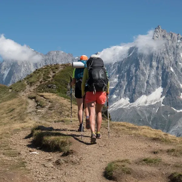
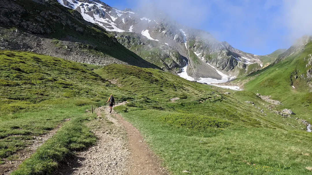
What is the Tour du Mont Blanc?
The Tour du Mont Blanc (TMB) is a long-distance hiking trail (GR) that circles the entire Mont Blanc massif - the highest peak in Western Europe at 4 807 m15,771 ft. The circuit crosses three countries: France, Italy and Switzerland, covering approximately 170 km105.6 mi with a cumulative elevation gain of 10 000 m32,808 ft. It is the most famous trek in Europe, hiked by over 10,000 people every year.
The trail connects mountain refuges where you sleep and eat between stages. You pass from French glaciers to Italian pastures in the Val Ferret, then through the Swiss Valais valleys before returning to Chamonix. The TMB is hiked anti-clockwise by 90% of hikers, starting from Les Houches or Chamonix.
We handle the logistics so you can focus on the trail. Get in touch with our experts.
Direct contact with local TMB experts
All our tips and info for your TMB
Practical advice to prepare your Tour du Mont Blanc - from gear to bookings.
Tour du Mont Blanc Cost: Full Budget Breakdown
The complete cost breakdown for the Tour du Mont Blanc: refuge nightly rates by country, transport to Les Houches, gear investment, agency fees, and the practical tips that actually save money.
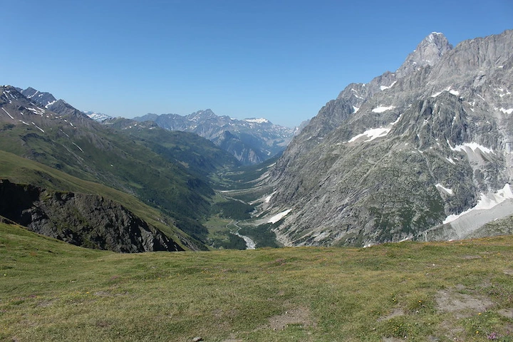
What Is the Most Beautiful Part of the Tour du Mont Blanc?
Not every section of the TMB is equally spectacular. A no-nonsense guide to the most beautiful part of the circuit and the sections that disappoint - so you know where to focus your energy.
What gear and equipment for the Tour du Mont Blanc?
Complete checklist of gear to pack for the Tour du Mont Blanc.
Is the Tour du Mont Blanc Difficult?
Is the TMB difficult? It all depends on your fitness level and the itinerary you choose.
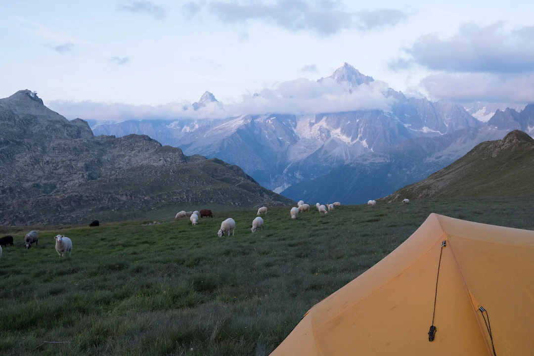
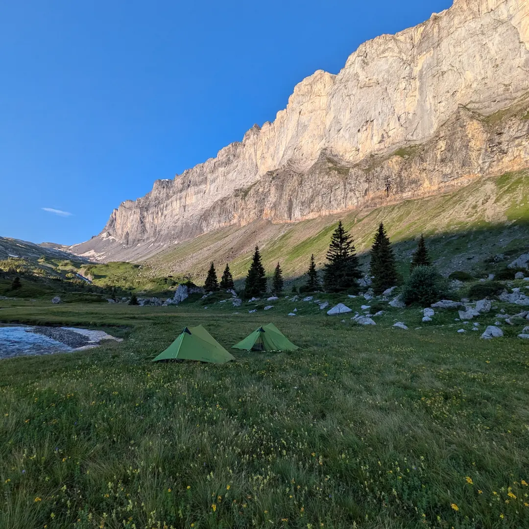
Camping on the Tour du Mont Blanc - Regulations
Complete guide to bivouac regulations on the TMB. Rules in France, Italy, and Switzerland, locations, and tips.
Self-guided Tour du Mont-Blanc: Everything you need to know
Everything you need to know for a self-guided TMB trek.
Tour du Mont-Blanc: What is the best direction to start?
Discover which direction is best for your TMB trek and the advantages of each.
What is the best time to hike the Tour du Mont-Blanc?
Discover the best time to hike the TMB based on weather, crowds and refuge availability.
How many days do you need for the Tour du Mont Blanc?
The TMB takes 7 to 12 days depending on your pace and the variants you choose. In 7 days, you cover the classic circuit with stages of 20 to 25 km12.4 to 15.5 mi and 1,000 to 1,500 m3,281 to 4,921 ft of elevation gain per day - that is demanding. In 10 days, the pace drops to 15 to 18 km9.3 to 11.2 mi per day, which leaves time to add variants like the Fenetre d'Arpette or the Col des Fours.
The GR TMB is waymarked red and white along the entire route. The anti-clockwise direction (Les Houches -> Les Contamines -> Courmayeur -> Champex -> Chamonix) is the standard direction, taken by 90% of hikers. The trail crosses passes between 2 000 m6,562 ft and 2 665 m8,743 ft - the highest point on the classic circuit is the Grand Col Ferret at 2 537 m8,323 ft, on the Italy-Switzerland border.
What is the total elevation gain on the Tour du Mont Blanc?
The cumulative elevation gain on the classic TMB is approximately 10 000 m32,808 ft over the full circuit. On a 7-day schedule, that works out to roughly 1 400 m4,593 ft of ascent per day. Over 10 days, the daily average drops to 1 000 m3,281 ft - more manageable for most hikers.
The hardest stages are the climb to the Col du Bonhomme (2 329 m7,641 ft) toward the Refuge de la Croix du Bonhomme, and the ascent to the Grand Col Ferret (2 537 m8,323 ft) from Rifugio Elena. The Fenetre d'Arpette variant (2 665 m8,743 ft) is the highest point accessible on the circuit - and also the most demanding.
The TMB in numbers
| Total distance | 170 km105.6 mi (varies depending on variants chosen) |
| Cumulative elevation gain | ~10 000 m32,808 ft |
| Duration | 7 to 12 days (60 to 80 hours of actual walking) |
| Highest point | Grand Col Ferret - 2 537 m8,323 ft (classic) / Fenetre d'Arpette - 2 665 m8,743 ft (variant) |
| Start / Finish | Les Houches or Chamonix (full loop) |
| Countries crossed | France, Italy, Switzerland |
| Difficulty | Moderate to Difficult (depending on duration and variants) |
Tour du Mont Blanc Refuges
The refuges where you sleep, eat, and recharge between TMB stages.
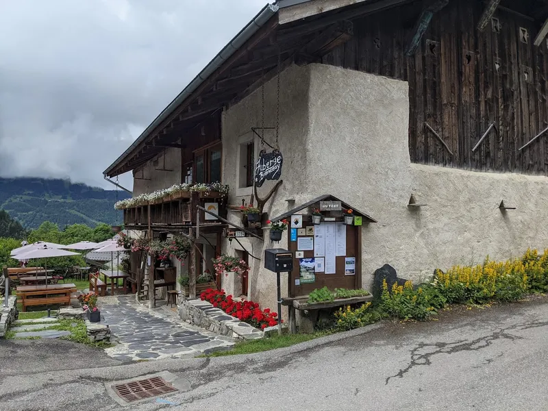
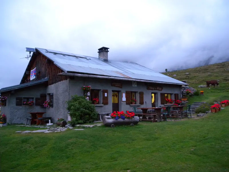
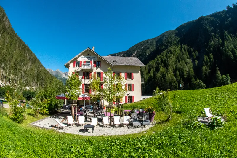
Auberge De Bionnassay (1320m), Saint Gervais - France
Traditional guesthouse in Saint Gervais, a popular stop on the Tour du Mont Blanc.
Auberge Des Glaciers (1600m), La Fouly - Switzerland
Welcoming guesthouse in La Fouly, Switzerland, offering mountain comfort on the TMB.
Auberge Du Truc (1750m), Saint Gervais - France
Alpine guesthouse perched at 1750m with exceptional panoramic views of the Mont Blanc massif.
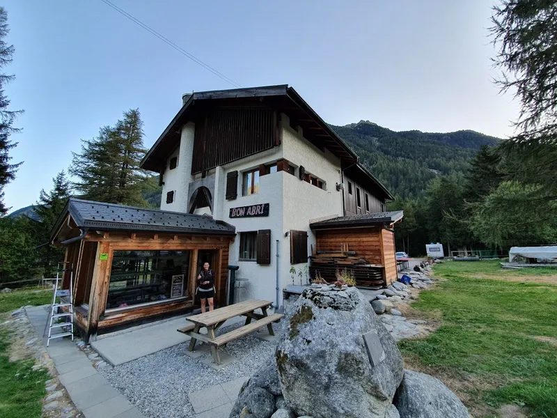
Auberge Gite Bon Abri (1444m), Champex-Lac - Switzerland
A peaceful haven in Champex-Lac, Switzerland, ideal for recharging on the TMB.
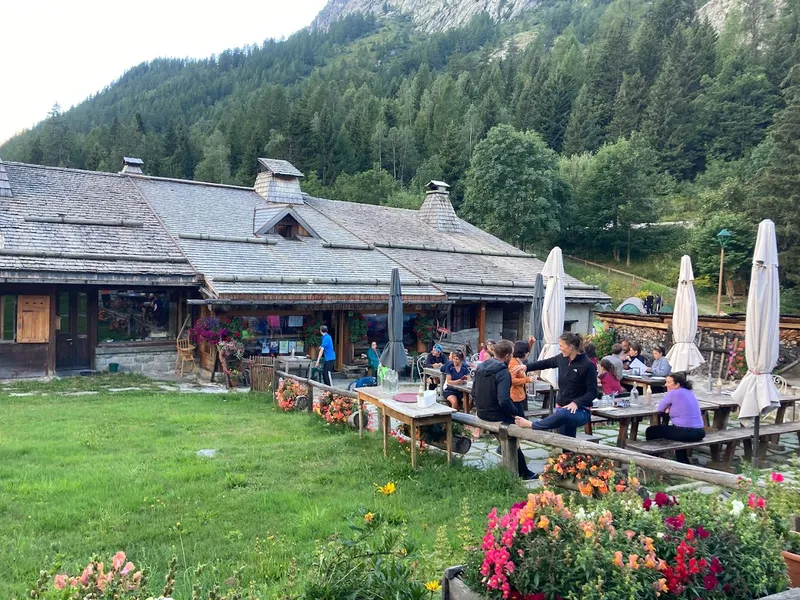
Auberge La Boerne (1395m), Chamonix - France
Historic 18th century chalet in Chamonix, offering warm accommodation on the TMB.
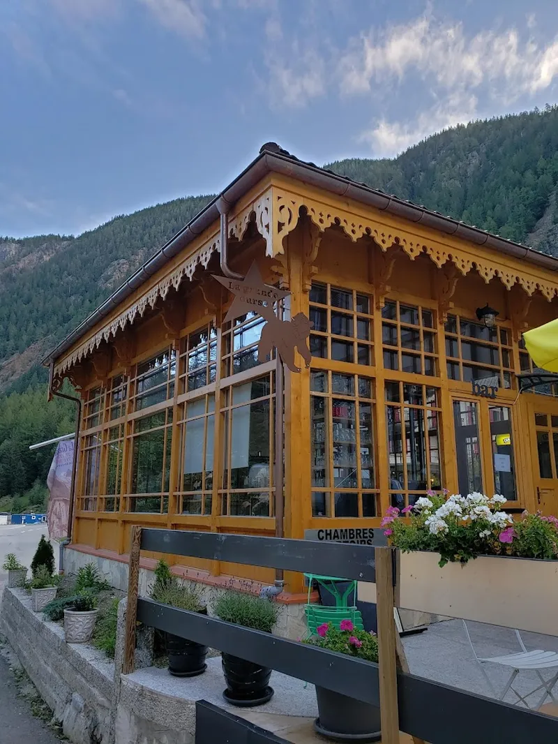
Auberge La Grande Ourse (1300m), Trient - Switzerland
Charming guesthouse in Trient, Switzerland, offering diverse accommodation options on the TMB.
Auberge Mont-Blanc (1300m), Trient - Switzerland
Guesthouse in Trient with comfortable dormitories, private rooms and mountain cuisine.
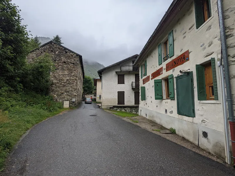
Auberge Refuge De La Nova (1554m), Bourg Saint Maurice - France
Mountain refuge in Bourg Saint Maurice, a stop on the GR TMB with board and modern facilities.
Tour du Mont Blanc - Frequently Asked Questions
When is the best time to hike the Tour du Mont Blanc?
The hiking season runs from mid-June to late September. The ideal window is the last two weeks of June (alpine flowers, long days, fewer crowds) or the first two weeks of September (stable weather, golden light, quieter trails). Avoid the first two weeks of August - peak season makes refuges and trails very crowded.
How long does it take to complete the Tour du Mont Blanc?
The full circuit covers roughly 170 km105.6 mi and typically takes 10 to 12 days. Some fit hikers complete it in 7 to 8 days, but that leaves little time to enjoy the scenery. Shorter versions covering the most beautiful sections can be done in 5 to 7 days.
Do I need to be very fit to hike the TMB?
You will walk 5 to 7 hours per day carrying a 6 to 8 kg pack. A typical stage covers 15 to 20 km9.3 to 12.4 mi with 800 to 1,200 m2,625 to 3,937 ft of elevation gain. You do not need to be an athlete, but you need to be prepared. If you can hike 15 km9.3 mi with 800 m2,625 ft of ascent on two consecutive days without difficulty, you are ready. Start training at least 8 weeks before.
Do I need to book refuges in advance?
Yes, absolutely. In July and August, the most popular refuges fill up as early as March. Book at least 3 to 6 months ahead for summer. In September, 1 to 2 months is usually enough. Do not count on walk-in availability - you may end up sleeping outside.
How much does the Tour du Mont Blanc cost?
Expect roughly 50 to 70 EUR$55 to $76 per person per night in half-board refuge accommodation (dinner and breakfast). Trail lunch adds 10 to 15 EUR$11 to $16. Plan on at least 50 EUR$55 in cash per day - many refuges do not accept cards. Over a 10-day trek, accommodation alone runs about 500 to 700 EUR$550 to $765 per person.
Can I hike the Tour du Mont Blanc without a guide?
Yes. The trail is extremely well marked with red and white blazes throughout. The TMB is one of the most accessible self-guided treks in the world. That said, you should know how to read a map, carry a GPS with offline maps (Komoot or Mapy.cz), and check the weather every day.
How do I get to the TMB starting point?
The most common starting point is Les Houches or Chamonix, easily reached by train, bus, or car. From Geneva, it takes about 1h15 by car or shuttle. From Paris, the TGV reaches Saint-Gervais in 4h30, then a short bus or train ride gets you to Chamonix.
What gear do I need for the TMB?
Keep your pack under 7 kg (excluding water). Essentials: waterproof jacket (afternoon storms are common in July-August), fleece, hiking pants, 2 base layers, hat, sunglasses (category 3+), SPF 50 sunscreen, headlamp, and a sleeping bag liner (required in refuges). Trekking poles are strongly recommended for descents.
From our partner · 400+ Verified Traveler Reviews
"An absolutely stunning trek. The itinerary was perfect, and our guide was extraordinary - knowledgeable, attentive, and passionate about the mountains."
"Well-marked trails crossing three countries with breathtaking scenery. The refuges were comfortable and the mountain cuisine was excellent."
"Flawless organization from start to finish. The luggage transfer allowed us to hike light and truly enjoy every stage of the journey."
"An unforgettable trek around Mont Blanc. Every day brings new surprises - from Swiss glaciers to Italian pastures and the French Aiguilles."
"Excellent service. The roadbook was clear and precise, the accommodation well chosen, and the team available at all times when needed."
"The Tour du Mont Blanc is a classic for good reason. The variety of landscapes between France, Italy and Switzerland is remarkable."
"A fantastic experience. The stages are well balanced, the refuges welcoming, and the views of the Mont Blanc massif are unforgettable."
"An extraordinary journey that showed us Mont Blanc from every angle. The logistics were perfect and we only had to enjoy the trail."
"Superb organization. The variant options allowed us to adapt the trek to our fitness level. I recommend without hesitation."
"A complete and well-thought-out tour. The crossings between the three countries offer a unique cultural and scenic diversity. A must-do at least once in a lifetime."
Over 40 years of alpine expertise
Our partner agency has been operating in the Alps for over 40 years. Their team of passionate experts knows every trail, every refuge, and every season of the Tour du Mont Blanc.
Fully protected trips
Your investment is safe. We work exclusively with a licensed, bonded, and insured operator. 24/7 assistance and travel insurance included.
Itineraries designed by locals
No generic packages. Every itinerary is designed by a team of specialists who hike these trails themselves. Luggage transfer, dietary needs, and every logistical detail are handled for you.
A real team, not a call center
A dedicated team of a dozen specialists is available before, during, and after your trek. You speak directly to the people who designed your itinerary.