The Fenêtre d'Arpette
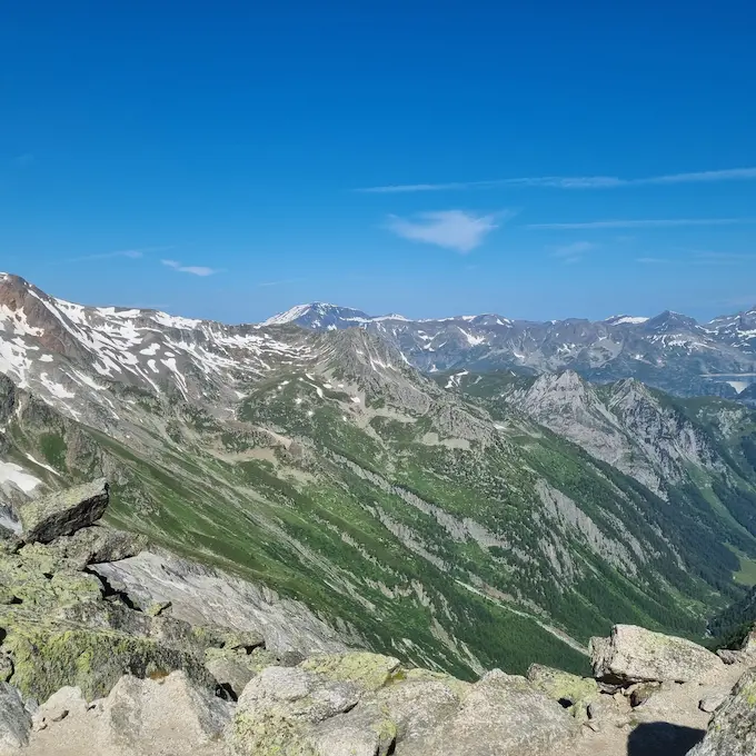
The Fenêtre d'Arpette, located in the canton of Valais in Switzerland, is a mountain pass that provides a crossing between the Val d'Arpette and the Trient valley. In the majestic Mont Blanc massif, this natural window stands at an altitude of 2,665 m8,743 ft.
Table of Contents
What you need to know
The ascent of this steep pass is a real challenge for hikers, especially those who choose to hike the Tour du Mont Blanc via this variant. The steep gradient of the pass, its high altitude, and the cumulative elevation gain of the stage can test even the most experienced hikers. The Pays du Saint-Bernard tourist office describes it as much more demanding than the route via Bovine, and not to be attempted in poor weather conditions.
However, those who rise to the challenge are rewarded with breathtaking panoramic views, particularly of the Trient valley and glacier. The Fenêtre d'Arpette is often considered one of the most beautiful variants of the route, and also one of the most demanding.
The Fenêtre d'Arpette is therefore more than just a mountain pass - it is an unforgettable hiking experience that offers hikers a unique opportunity to connect with nature while testing their physical limits.
Download the stage GPX track: https://www.visugpx.com/iIoAINv20C
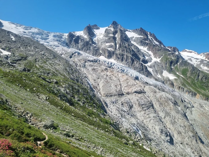
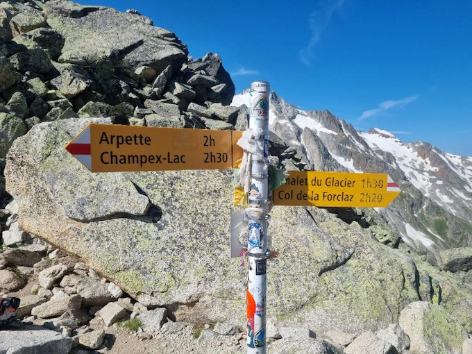
Leaving Champex, you set off on a 6-kilometre ascent, climbing 1 100 m3 609 ft of elevation gain. This climb is a real challenge, with some sections leading to the Fenêtre d’Arpette that can be tricky. It is crucial to stay vigilant on the trail, to check the weather forecast carefully, and to assess the terrain conditions before committing. Some passages may still be snow-covered: before mid-June, the Fenêtre d’Arpette keeps snowfields on its north side.
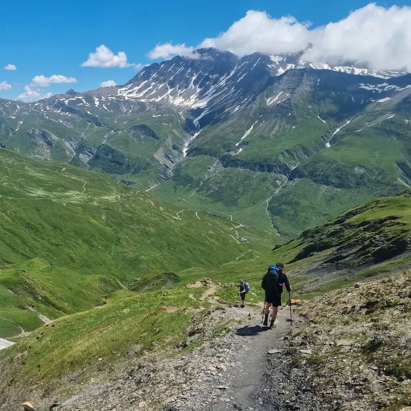
Once at the Fenêtre, take a moment to rest and appreciate your achievement. You then have a descent of about 4 kilometres with 1 000 m3 281 ft of elevation loss to tackle before reaching the Chalet du Glacier.
After this revitalising break, you will begin a new ascent to the Col de la Balme - 2 kilometres with about 600 m1 969 ft of elevation gain. The panorama and the Col de Balme refuge are splendid, and we recommend you take the time to enjoy them fully.
Finally, all that “remains” is 6 kilometres and 800 m2 625 ft of elevation loss to reach Tré le Champ. As always, make sure to book your accommodation for the night in advance, whether in a refuge or a bivouac spot: the Auberge de la Boerne offers gîte accommodation and a campsite for bivouacking. This stage of the Tour du Mont Blanc offers a memorable hiking experience, with physical challenges, stunning panoramas, and well-deserved moments of relaxation.
Points of interest: Fenêtre d’Arpette, Col de la Balme
Where to sleep?
- Auberge de la Boerne in gîte
- Auberge de la Boerne in bivouac
Practical info
See this route on the map
Interactive TMB map
We organize the logistics so you can focus on the trail. Get in touch with our experts today.
Direct contact with local TMB experts

Explore more itineraries
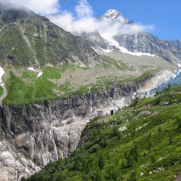
The Argentière Glacier
An easy walk from Lognan, above Argentière, to the viewpoint over the Argentière Glacier serac fall. Check whether the Grands-Montets cable car is running: it was closed all summer 2026.
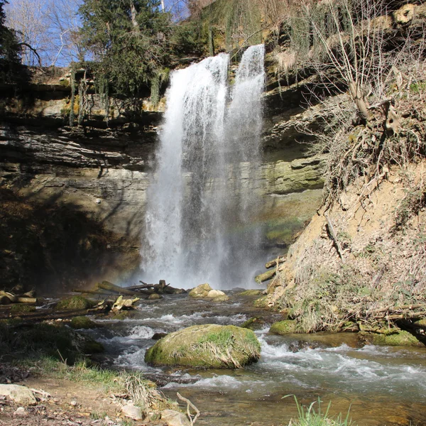
The Cascade du Dard
The Cascade du Dard is a short forest walk in the Chamonix valley to a 20 m66 ft waterfall at 1,233 m4,045 ft. An easy rest-day outing from the TMB.
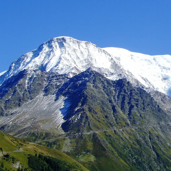
The Col de Tricot
The Col de Tricot variant leaves the classic TMB at the Col de Voza and reaches Les Contamines via the Chalets de Miage and Le Truc, with views of the Aiguille de Bionnassay and the Dômes de Miage.
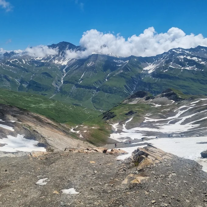
The Col des Fours
The Col des Fours variant, between the Col de la Croix du Bonhomme and the Ville des Glaciers, offers exceptional panoramic views of the Mont Blanc massif.
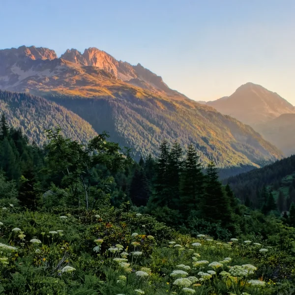
The Col des Montets
The Col des Montets variant crosses the Aiguilles Rouges Nature Reserve between Argentière and Vallorcine, with panoramic views of the Mont Blanc massif from the opposite side of the Chamonix valley.
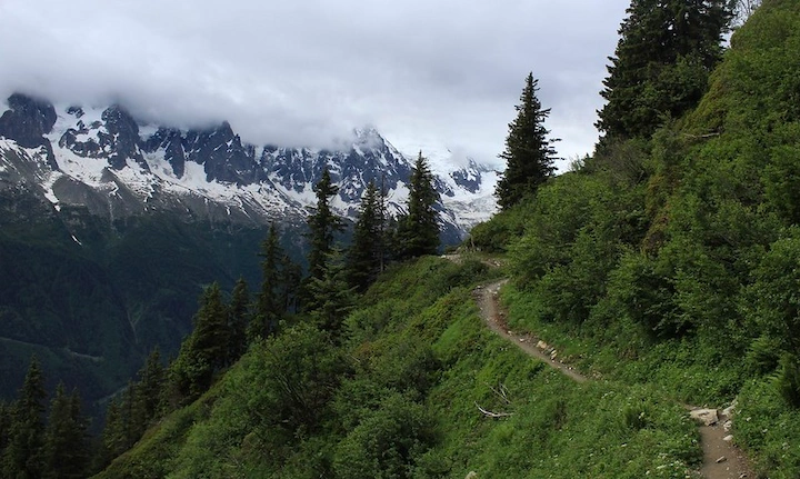
Tour du Mont Blanc in 10 Days
The TMB itinerary in 10 stages to fully enjoy the alpine scenery. A comfortable pace through France, Italy, and Switzerland.
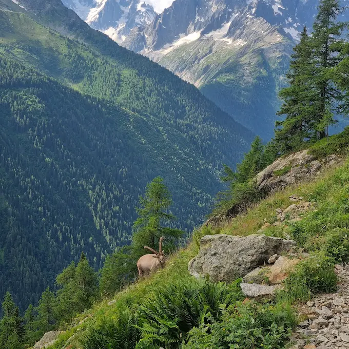
Tour du Mont Blanc in 7 Days
The classic TMB itinerary in 7 stages through France, Italy, and Switzerland. 157 km98 mi of spectacular trails around the Mont Blanc massif.
From our partner · 400+ Verified Traveler Reviews
"An absolutely stunning trek. The itinerary was perfect, and our guide was extraordinary - knowledgeable, attentive, and passionate about the mountains."
"Well-marked trails crossing three countries with breathtaking scenery. The refuges were comfortable and the mountain cuisine was excellent."
"Flawless organization from start to finish. The luggage transfer allowed us to hike light and truly enjoy every stage of the journey."
"An unforgettable trek around Mont Blanc. Every day brings new surprises - from Swiss glaciers to Italian pastures and the French Aiguilles."
"Excellent service. The roadbook was clear and precise, the accommodation well chosen, and the team available at all times when needed."
"The Tour du Mont Blanc is a classic for good reason. The variety of landscapes between France, Italy and Switzerland is remarkable."
"A fantastic experience. The stages are well balanced, the refuges welcoming, and the views of the Mont Blanc massif are unforgettable."
"An extraordinary journey that showed us Mont Blanc from every angle. The logistics were perfect and we only had to enjoy the trail."
"Superb organization. The variant options allowed us to adapt the trek to our fitness level. I recommend without hesitation."
"A complete and well-thought-out tour. The crossings between the three countries offer a unique cultural and scenic diversity. A must-do at least once in a lifetime."
Over 40 years of alpine expertise
Our partner agency has been operating in the Alps for over 40 years. Their team of passionate experts knows every trail, every refuge, and every season of the Tour du Mont Blanc.
Fully protected trips
Your investment is safe. We work exclusively with a licensed, bonded, and insured operator. 24/7 assistance and travel insurance included.
Itineraries designed by locals
No generic packages. Every itinerary is designed by a team of specialists who hike these trails themselves. Luggage transfer, dietary needs, and every logistical detail are handled for you.
A real team, not a call center
A dedicated team of a dozen specialists is available before, during, and after your trek. You speak directly to the people who designed your itinerary.