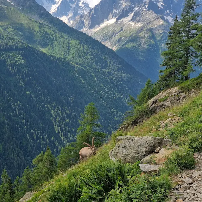
Tour du Mont Blanc in 7 Days
For those seeking adventure, the Tour du Mont Blanc is an epic hiking experience that takes you through three countries - France, Italy, and Switzerland - in one intense week, offering a unique opportunity to circle the majestic Mont Blanc massif. This adventure invites you to take on the majesty of the Alps, crossing mountain passes such as the Col du Brevent, the Col de la Seigne, and the Col des Fours, while admiring the landscapes, villages (like Trient), and the magnificent trails of Mont Blanc.
Table of Contents
Day-by-day itinerary
Les Houches - Refuge de la Balme
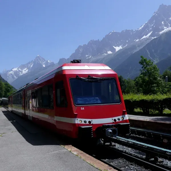
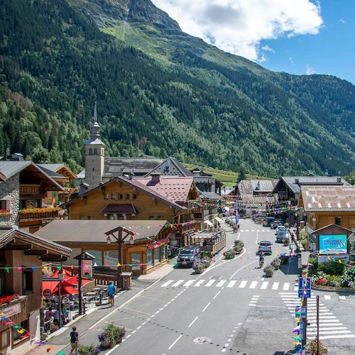
The first stage of the Tour du Mont Blanc, a 25 km15.5 mi adventure, starts at Les Houches, the "classic" starting point of the TMB according to the Autour du Mont-Blanc cross-border website, and ends at the Refuge de la Balme, following trails that provide an impressive introduction to the beauty of the Alps. After roughly 2h30 of walking from Les Houches, you will reach the Col de Voza, an initial challenge that will get your legs warmed up with approximately 660 m2 165 ft of elevation gain over a distance of 6 to 7 kilometres, depending on your starting point. This first part of the route offers an impressive introduction to the beauty of the Alps and a solid warm-up for the rest of the tour.
After the Col de Voza, you will descend for about 11 kilometres, with roughly 800 m2 625 ft of elevation loss, to arrive at Les Contamines. This charming town is an ideal spot to take a break, cool down with a local beer, and even spend the night if you prefer not to continue to the Refuge de la Balme. For those who choose to press on, there are still about 7 kilometres and 550 m1 804 ft of elevation gain to reach the Refuge de la Balme. There, you can choose to sleep in the comfort of the refuge or have a more rustic experience at the bivouac area.
Points of interest: Col de Voza
Where to sleep?
- Refuge de la Balme
- La Balme bivouac area, 200 m from the refuge and not managed by it (refuge page on the wardens' platform, in French): booking required from 1 June to 30 September in the Haute-Savoie nature reserves, one booking per tent, according to the nature reserves' booking site (see our camping regulations)
- Option to stop earlier at Les Contamines
Download the GPX track for this stage: https://www.visugpx.com/mSlFmJ4Qro
Les Houches - Refuge de la Balme (Col de Tricot variant)
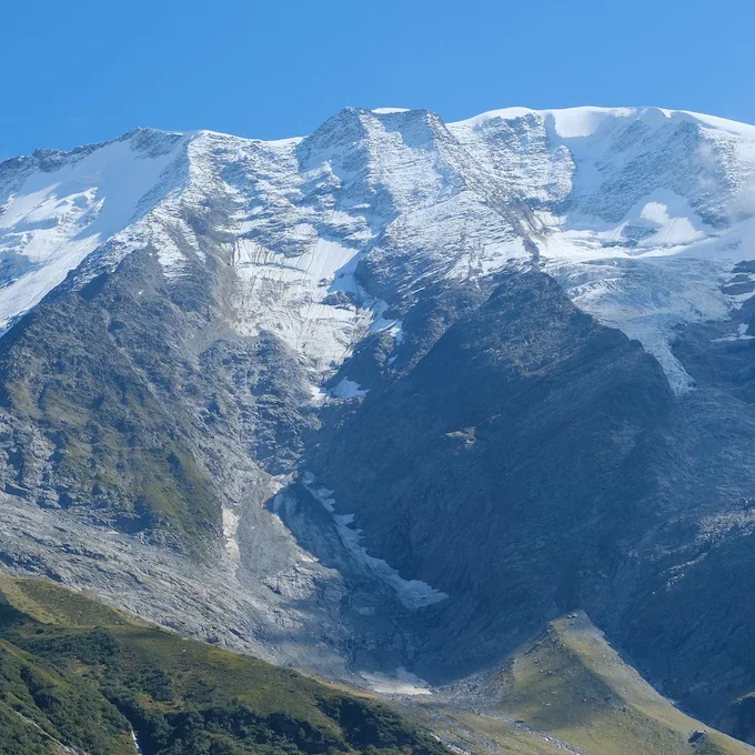
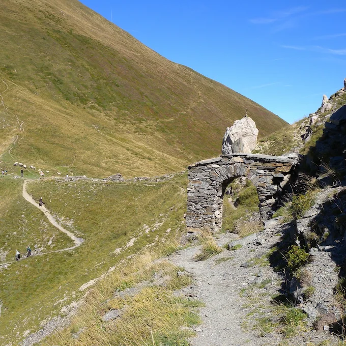
The first stage of the Tour du Mont Blanc offers an exciting variant that goes via the Col du Tricot, adding an extra dimension to this alpine adventure. The first part of the stage remains the same as the classic route, with a walk of about 2h30 from Les Houches to the Col de Voza. This section of the route includes approximately 660 m2 165 ft of elevation gain over a distance of 6 to 7 kilometres, depending on your starting point.
Once at the Col de Voza, you will have the choice between staying on the classic route or taking the variant via the Col du Tricot. If you choose the latter, prepare for approximately 600 m1 969 ft of additional elevation gain over a distance of 6 kilometres to reach the Col du Tricot. This variant offers a more demanding but also more rewarding hiking experience, with spectacular panoramic views of the Alps.
From the Col du Tricot, you have several options for the rest of your day. You can continue to the Refuge de la Balme to spend the night, making for a longer but equally rewarding end to the day. Alternatively, you can head towards Les Contamines to shorten your day and spend the night there.
Points of interest: Col de Voza, Col de Tricot
Where to sleep?
- Refuge de la Balme
- La Balme bivouac area, not managed by the refuge (booking required from 1 June to 30 September, see option 1 and our camping regulations)
- Option to stop earlier at Les Contamines
Download the GPX track for this stage: https://www.visugpx.com/rFQWJMXPXN
Refuge de la Balme - Chapieux - Les Mottets
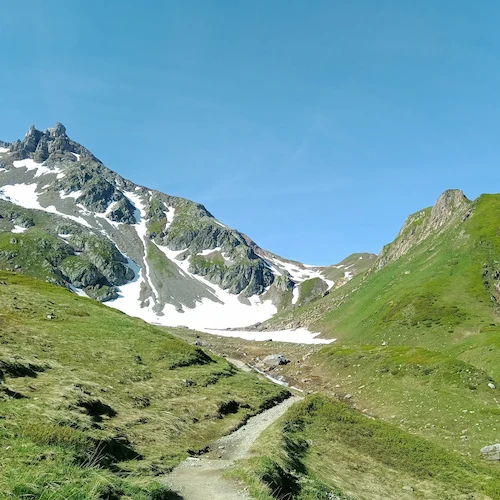
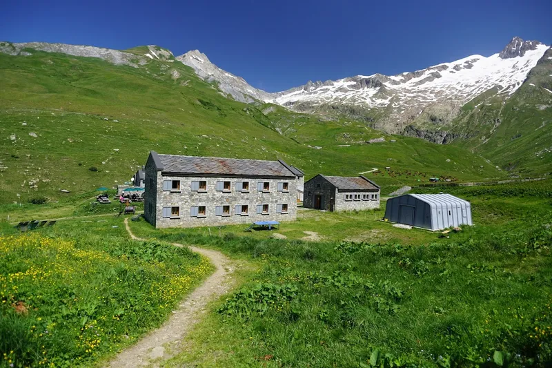
The second stage of the Tour du Mont Blanc starts at the Refuge de la Balme and ends at the Refuge des Mottets. It follows the classic tour route.
Departing from the Refuge de la Balme, you face a climb of 650 m2 133 ft of elevation gain over 4 kilometres to reach the Col du Bonhomme. Once at the pass, you will continue on the classic tour route without taking the variant via the Col des Fours. The Refuge de la Croix du Bonhomme has been closed to the public since 17 August 2026 for renovation works: no accommodation or service is available for the whole duration of the works, so the whole 2027 season, and it is due to reopen in 2029, according to the refuge's website (FFCAM) (in French).
After the Col de la Croix du Bonhomme, you will begin a 4-kilometre descent with 800 m2 625 ft of elevation loss to arrive at Les Chapieux. From there, you will continue at a gentle pace for about 6 kilometres to the Refuge des Mottets. On the way, stop at the Ville des Glaciers to receive a portion of local alpine cheese - a small but complete immersion in mountain culture.
Once you arrive at the Refuge des Mottets, you will have completed this stage of the tour. This is your last stop before crossing into Italy the following day via the Col de la Seigne, where the tour enters the Aosta Valley according to the Aosta Valley regional tourist office (in French). It is recommended to book in advance if you plan to sleep in the refuge. There is no bivouac option near the refuge, according to its Autour du Mont-Blanc page, and bivouacking is not allowed anywhere in the Vallée des Glaciers, made of pastures and private land, according to the wardens' association bivouac page (in French; see our camping regulations).
Update, 18 May 2026 (from the warden of Refuge des Mottets): bivouacking is prohibited throughout the Vallée des Glaciers. The only authorised bivouac spot on this stage is the communal bivouac area in the village of Les Chapieux.
Points of interest: Col du Bonhomme, Col de la Croix du Bonhomme
Where to sleep?
- Refuge des Mottets
- Communal bivouac area in Les Chapieux village (the only authorised bivouac on this stage)
Download the GPX track for this stage: https://www.visugpx.com/pubLJ5t1su
Refuge de la Balme - Col des Fours - Les Mottets
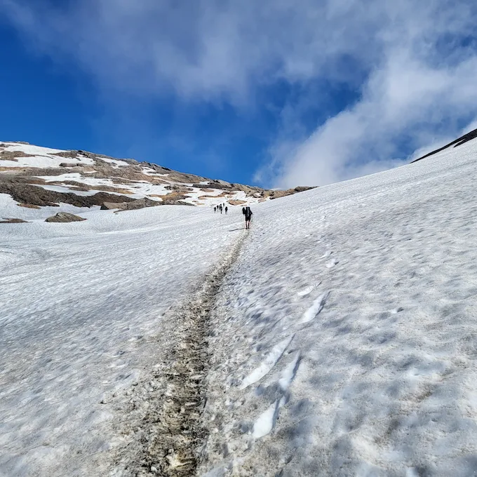
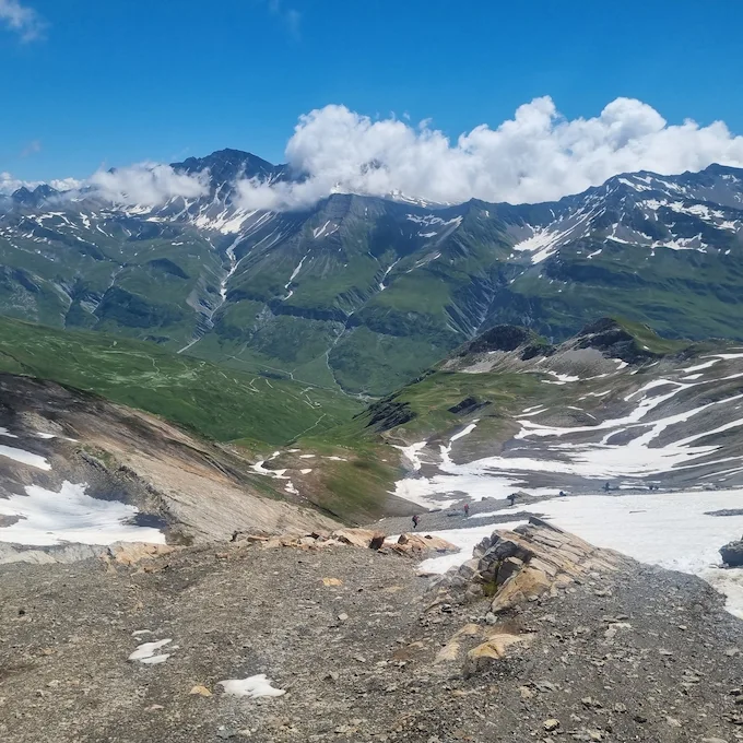
The start of the stage is the same as the classic route, departing from the Refuge de la Balme with a climb of 650 m2 133 ft of elevation gain over 4 kilometres to reach the Col du Bonhomme.
Continuing towards the Col de la Croix du Bonhomme, you will then take the variant leading to the Col des Fours. This variant takes you to an altitude of 2 665 m8 743 ft, offering spectacular views of the surrounding mountains in good weather. The Refuge de la Croix du Bonhomme, on the way, is closed until 2029 (see option 1). Before setting out on this variant, it is essential to check the weather and trail conditions in advance. Depending on the season, there can be significant snow patches: before mid-June, the Col des Fours keeps snow patches on its north side, according to the wardens' association page on trail conditions (in French).
Once at the Col des Fours, you will begin a 5-kilometre descent with 900 m2 953 ft of elevation loss to arrive at the Ville des Glaciers. You can stop at the alpine pasture to stock up on local cheese - a true regional delicacy - before continuing to the Refuge des Mottets.
The Refuge des Mottets is your last stop before crossing into Italy the following day via the Col de la Seigne. It is recommended to book in advance if you plan to sleep in the refuge. There is no bivouac option near the refuge, and bivouacking is not allowed anywhere in the Vallée des Glaciers (see option 1 and our camping regulations).
Update, 18 May 2026 (from the warden of Refuge des Mottets): bivouacking is prohibited throughout the Vallée des Glaciers. The only authorised bivouac spot on this stage is the communal bivouac area in the village of Les Chapieux.
Points of interest: Col du Bonhomme, Col des Fours
Where to sleep?
- Refuge des Mottets
- Communal bivouac area in Les Chapieux village (the only authorised bivouac on this stage)
Download the GPX track for this stage: https://www.visugpx.com/URWmZQHWLG
Les Mottets - Courmayeur
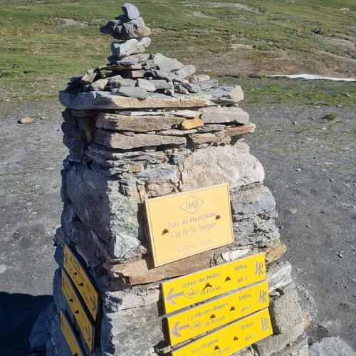
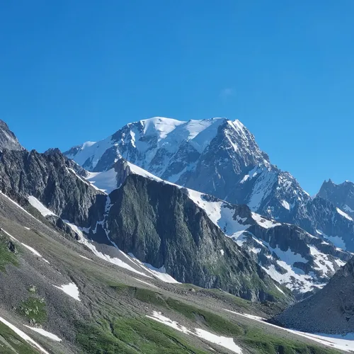
The third stage of the Tour du Mont Blanc takes you from France into Italy, crossing spectacular alpine landscapes. The stage begins at the Refuge des Mottets, and after just 4 kilometres and about 600 m1 969 ft of elevation gain, you will reach the Col de la Seigne. This crossing, perfect for waking up, marks your entry into Italy, in the Aosta Valley, and offers breathtaking panoramic views of the surrounding mountains.
After the Col de la Seigne, you will continue for about 9 to 10 kilometres through the magnificent Italian valley. This part of the route takes you through varied landscapes, including the picturesque Lac Combal and several mountain refuges. Every step of this stage offers a new view of the Alps, with constantly changing panoramas and opportunities for memorable photos.
Finally, you will begin an 11-kilometre descent with 1 260 m4 134 ft of elevation loss to arrive in Courmayeur. This Italian town is a welcome resting place after this long stage. Courmayeur has plenty of hotels, perfect for recharging and preparing for the next stage of your adventure. Whether you choose to relax in a spa, savour local Italian cuisine, or simply rest, Courmayeur offers a perfect end to this third stage of the Tour du Mont Blanc.
Points of interest: Col de la Seigne, Lac Combal
Where to sleep?
- Hotels in Courmayeur
Download the GPX track for this stage: https://www.visugpx.com/Twvax7D6iA
Courmayeur - Refuge Elena
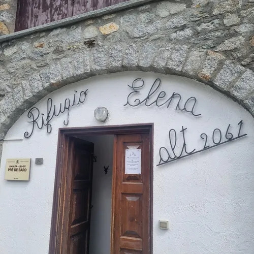
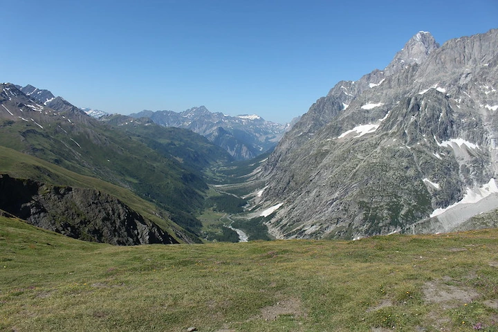
The fourth stage of the Tour du Mont Blanc is a day that offers a mix of challenge and relaxation. Your day begins with a climb of about 800 m2 625 ft of elevation gain over 4 to 5 kilometres, depending on your starting point. This initial climb is an excellent way to wake up and prepare for the day ahead.
Once this climb is done, the rest of the day is fairly relaxed compared to the other stages. You will continue for about 12 kilometres, with 330 m1 083 ft of elevation gain and 600 m1 969 ft of elevation loss. This section of the route takes you through the beautiful Italian valley, offering spectacular views and a relaxing hiking experience.
Before arriving at the Refuge Elena, you will have about 2 kilometres and roughly 300 m984 ft of elevation gain remaining. This final climb is a last challenge before wrapping up the day. The Refuge Elena is a popular spot to spend the night, offering spectacular views of the surrounding mountains.
It is important to note that you will need to book in advance to sleep at the Refuge Elena, as it fills up quickly and there are not many options for sleeping in the area; the refuge does not accept bivouacking, according to its Autour du Mont-Blanc page. In the Aosta Valley, all forms of camping are prohibited and bivouacking is prohibited below 2 500 m8 202 ft altitude, with a fine of 566 EUR$657, according to the wardens' association bivouac page, so it is essential to plan ahead. This fourth stage of the Tour du Mont Blanc offers a balanced hiking experience, with physical challenges, magnificent landscapes, and moments of relaxation.
Points of interest: Italian Valley
Where to sleep?
- Refuge Elena
Download the GPX track for this stage: https://www.visugpx.com/B3MhnslfBa
Refuge Elena - Champex
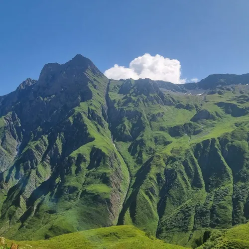
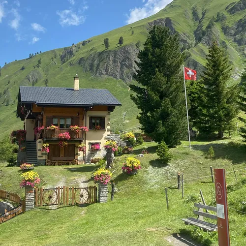
The fifth stage of the Tour du Mont Blanc, from the Refuge Elena to Champex-Lac, is a hiking day that offers both challenges and moments of relaxation. Although this stage is fairly long and some sections are not the most scenic on the tour, it nevertheless provides a rewarding hiking experience.
The day begins with a fine climb of about 500 m1 640 ft of elevation gain over 2 kilometres to reach the Grand Col Ferret. This climb marks your crossing into Switzerland - at the border, a moment to celebrate.
From the Grand Col Ferret, a descent of about 20 kilometres and 1 600 m5 249 ft of elevation loss awaits. This descent brings you closer to Champex-Lac, your destination for the night. Note that part of this stage can be done by bus: in 2026, buses run by TMR, the line's operator, connected Ferret to Champex-Lac every day until 27 September, which can be an attractive option for those wanting to save some energy.
You will then have 6 kilometres and 600 m1 969 ft of elevation gain remaining to reach the Relais d'Arpette, where you will spend the night. It is also possible to sleep at the Les Rocailles campsite in Champex-Lac (Pays du Saint-Bernard tourist office page), which is located about 45 minutes before the Relais d'Arpette.
Points of interest: Grand Col Ferret (Italy/Switzerland border), option to take the bus from Ferret
Where to sleep?
- Relais d'Arpette
- Les Rocailles campsite (in Champex-Lac)
Download the GPX track for this stage: https://www.visugpx.com/v4RKRYwRg3
Champex - Col de Balme (via La Forclaz) - Tre le Champ
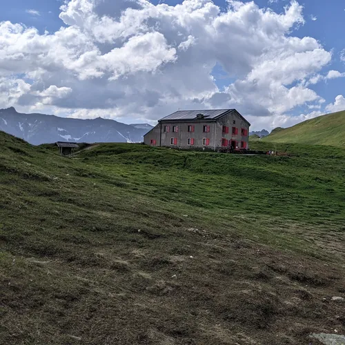
The sixth stage of the Tour du Mont Blanc, from Champex to Tre le Champ, is a fairly tough hiking day even without taking the Fenetre d'Arpette variant. This stage also marks your return to France.
Your day begins with a climb to the Col de la Forclaz, followed by another climb to the Col de la Balme. The Col de la Balme (2 204 m7 231 ft) offers spectacular views of the surrounding mountains. The Col de Balme refuge here is a beautiful place to take a break and enjoy the scenery. Crossing the Col de la Balme also marks the border with France - another important milestone on your journey.
After enjoying the Col de la Balme and a drink at the refuge, you will begin a descent of about 6 kilometres with 700 m2 297 ft of elevation loss to reach Tre le Champ and the Auberge de la Boerne. This descent offers another opportunity to enjoy the alpine scenery while getting closer to your destination for the night.
It is important to note that you should book your night at the Auberge de la Boerne in advance. Its Autour du Mont-Blanc page describes it as a gite, with a campsite set up for bivouacking.
Points of interest: Col de la Forclaz, Col de la Balme
Where to sleep?
- Auberge de la Boerne (dormitory)
- Auberge de la Boerne (bivouac)
Download the GPX track for this stage: https://www.visugpx.com/f8P8nDc8xt
Champex - Col de Balme (via Fenetre d'Arpette) - Tre le Champ
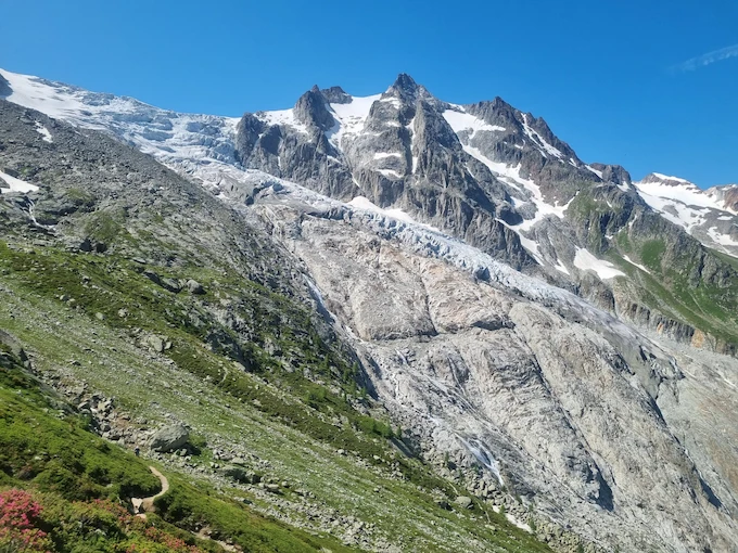
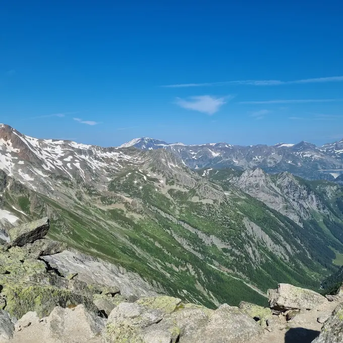
The sixth stage of the Tour du Mont Blanc, from Champex to Tre le Champ, with the Fenetre d'Arpette variant, is a spectacular but much more demanding variant than the route via Bovine, according to the Pays du Saint-Bernard tourist office (in French).
Starting from Champex, you will begin a climb over 6 kilometres with 1 100 m3 609 ft of elevation gain. This climb is a challenge in itself, with some passages approaching the Fenetre d'Arpette that can be tricky. The tourist office recommends avoiding this variant in bad weather. It is essential to exercise caution on the path and to carefully check the weather and trail conditions before setting out. Some sections may still be snow-covered: before mid-June, the Fenetre d'Arpette keeps snow patches on its north side, according to the wardens' association page on trail conditions.
Once you reach the Fenetre, take time to rest and savour your achievement. You then have a descent of about 4 kilometres with 1 000 m3 281 ft of elevation loss before arriving at the Chalet du Glacier. Here, you can reward yourself with a cheese croute and a good beer.
After a well-deserved break, you will begin a new ascent to the Col de la Balme - 2 kilometres with about 600 m1 969 ft of elevation gain. The view and the refuge here are magnificent, and we recommend making the most of them.
Finally, you will have just 6 kilometres and 800 m2 625 ft of elevation loss remaining to reach Tre le Champ. As always, make sure to book your night in advance, whether in the refuge or for bivouac. This stage of the Tour du Mont Blanc offers an unforgettable hiking experience, with physical challenges, breathtaking views, and well-deserved moments of relaxation.
Points of interest: Fenetre d'Arpette, Col de la Balme
Where to sleep?
- Auberge de la Boerne (dormitory)
- Auberge de la Boerne (bivouac)
Download the GPX track for this stage: https://www.visugpx.com/iIoAINv20C
Tre le Champ - Les Houches
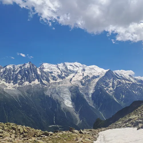
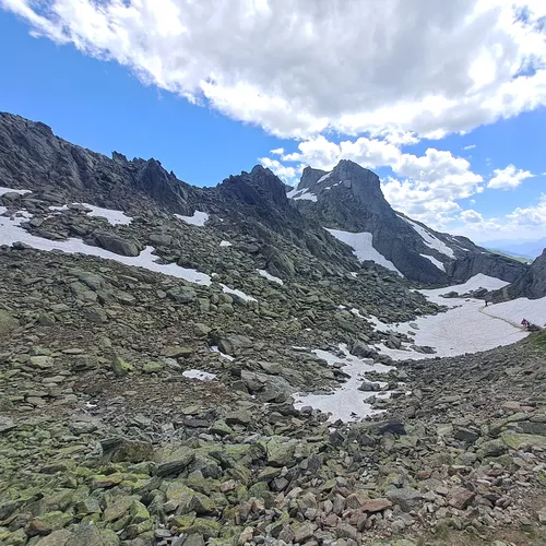
Congratulations! You have reached the seventh and final stage of the Tour du Mont Blanc, from Tre le Champ to Les Houches. This is a flexible day that can be adapted to your needs and preferences, whether in terms of accommodation, transport, or difficulty level.
If you choose to hike all the way back to Les Houches, prepare for a full day. However, numerous exit points are available along the way, allowing you to adjust your day according to your physical condition and preferences.
You will have the option to take the cable car from La Flegere down to Les Praz, 3 km from Chamonix, offering a quick descent and a stunning view of the valley. Another option is to go back down to the heart of Chamonix with the Brevent lifts (Planpraz gondola), according to the Chamonix tourist office (in French) - another way to enjoy the views without the effort of the descent.
If you are feeling up to it, you can also choose to descend to Chamonix on foot before the ascent of Le Brevent. This option lets you fully enjoy the natural beauty of the route while giving yourself one last physical challenge.
During this day, you will pass notably through the Aiguillette d'Argentiere and its ladders, as well as the Col du Brevent. These two points offer spectacular views and are highlights of this final stage.
Whichever option you choose, this last stage of the Tour du Mont Blanc is the chance to celebrate your achievements, enjoy the final magnificent views, and finish your adventure in style.
Points of interest: Aiguillette d'Argentiere, Col du Brevent
Where to sleep?
- Les Houches
- Chamonix
- Option to take the cable car from La Flegere to Les Praz de Chamonix
- Option to take the Brevent gondola (Planpraz) to Chamonix
- Option to descend to Chamonix before the Le Brevent climb (allow 1h30 to 2h for a steep descent)
Download the GPX track for this stage: https://www.visugpx.com/3kIaPa8PzP
Preparing Your Tour du Mont Blanc
Itinerary Flexibility
The itinerary offers exceptional flexibility with an adaptable average distance for all hikers, allowing you to adjust the difficulty of your trip by changing the number of days. Your choice of gear and equipment - backpack, clothing (fleece, shorts, jacket, sunglasses, etc.) and hiking boots - will be just as important as your choice of itinerary (don't forget your IGN map). A seven-day tour represents a considerable challenge, with stages that are sometimes long and demanding, punctuated by moments where you can watch the sun set behind the massif before arriving at the evening's refuge. For those looking for a less demanding experience, opting for the ten-day tour allows you to enjoy the trek at a gentler pace, with reduced but equally rewarding daily walking time.
Key Facts
Regarding the details of this itinerary: it covers 157 km98 mi, with a total ascent of 9,786 m32,106 ft and a total descent of 9,462 m31,043 ft, crossing the Mont Blanc massif in all its splendour. It is also organised by stage, so you can easily create a summary sheet for each day to keep track. Also, although it runs counter-clockwise, you can also do it in the opposite direction to vary the views.
Practical info
See this route on the map
Interactive TMB map
We organize the logistics so you can focus on the trail. Get in touch with our experts today.
Direct contact with local TMB experts

Explore more itineraries
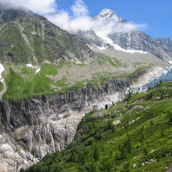
The Argentière Glacier
An easy walk from Lognan, above Argentière, to the viewpoint over the Argentière Glacier serac fall. Check whether the Grands-Montets cable car is running: it was closed all summer 2026.
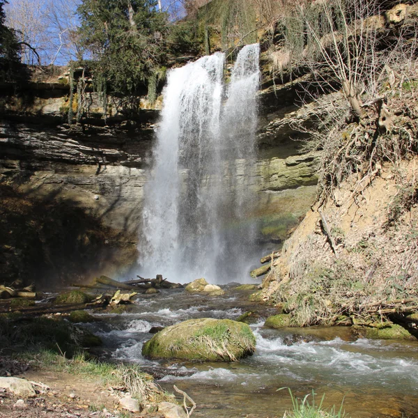
The Cascade du Dard
The Cascade du Dard is a short forest walk in the Chamonix valley to a 20 m66 ft waterfall at 1,233 m4,045 ft. An easy rest-day outing from the TMB.
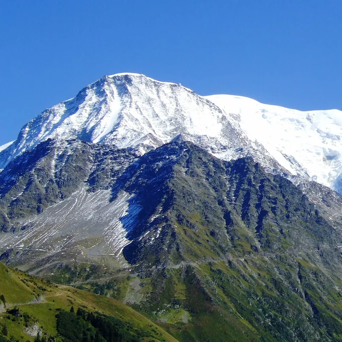
The Col de Tricot
The Col de Tricot variant leaves the classic TMB at the Col de Voza and reaches Les Contamines via the Chalets de Miage and Le Truc, with views of the Aiguille de Bionnassay and the Dômes de Miage.
The Col des Fours
The Col des Fours variant, between the Col de la Croix du Bonhomme and the Ville des Glaciers, offers exceptional panoramic views of the Mont Blanc massif.
The Col des Montets
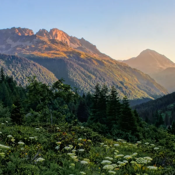
The Col des Montets variant crosses the Aiguilles Rouges Nature Reserve between Argentière and Vallorcine, with panoramic views of the Mont Blanc massif from the opposite side of the Chamonix valley.
The Fenêtre d'Arpette
Often considered one of the most beautiful variants of the TMB, and one of the most demanding: a wild pass at 2,665 m8,743 ft with views of the Trient Glacier.
Tour du Mont Blanc in 10 Days
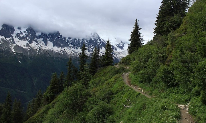
The TMB itinerary in 10 stages to fully enjoy the alpine scenery. A comfortable pace through France, Italy, and Switzerland.
From our partner · 400+ Verified Traveler Reviews
"An absolutely stunning trek. The itinerary was perfect, and our guide was extraordinary - knowledgeable, attentive, and passionate about the mountains."
"Well-marked trails crossing three countries with breathtaking scenery. The refuges were comfortable and the mountain cuisine was excellent."
"Flawless organization from start to finish. The luggage transfer allowed us to hike light and truly enjoy every stage of the journey."
"An unforgettable trek around Mont Blanc. Every day brings new surprises - from Swiss glaciers to Italian pastures and the French Aiguilles."
"Excellent service. The roadbook was clear and precise, the accommodation well chosen, and the team available at all times when needed."
"The Tour du Mont Blanc is a classic for good reason. The variety of landscapes between France, Italy and Switzerland is remarkable."
"A fantastic experience. The stages are well balanced, the refuges welcoming, and the views of the Mont Blanc massif are unforgettable."
"An extraordinary journey that showed us Mont Blanc from every angle. The logistics were perfect and we only had to enjoy the trail."
"Superb organization. The variant options allowed us to adapt the trek to our fitness level. I recommend without hesitation."
"A complete and well-thought-out tour. The crossings between the three countries offer a unique cultural and scenic diversity. A must-do at least once in a lifetime."
Over 40 years of alpine expertise
Our partner agency has been operating in the Alps for over 40 years. Their team of passionate experts knows every trail, every refuge, and every season of the Tour du Mont Blanc.
Fully protected trips
Your investment is safe. We work exclusively with a licensed, bonded, and insured operator. 24/7 assistance and travel insurance included.
Itineraries designed by locals
No generic packages. Every itinerary is designed by a team of specialists who hike these trails themselves. Luggage transfer, dietary needs, and every logistical detail are handled for you.
A real team, not a call center
A dedicated team of a dozen specialists is available before, during, and after your trek. You speak directly to the people who designed your itinerary.