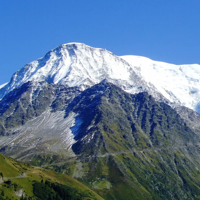
The Col de Tricot
The Col de Tricot is a Tour du Mont Blanc variant between the Col de Voza and Les Contamines-Montjoie: it goes via the Col de Tricot, the Chalets de Miage and Le Truc instead of Bionnassay and Champel. Via this variant, the stage from Les Houches to the Refuge de la Balme covers 30 km18.6 mi with 2,653 m8,704 ft of ascent.
Table of Contents
What You Need to Know
The classic TMB runs from Les Houches to Les Contamines-Montjoie via the Col de Voza, Bionnassay, Champel and Tresse; the variant leaves this route at the Col de Voza and goes via the Col de Tricot, the Chalets de Miage and Le Truc. From Les Houches you look out over the Aiguille de Bionnassay and the Dômes de Miage; from the Col de Voza, over the north face of the Aiguille de Bionnassay and the Aiguille du Goûter; and from Le Truc, over the Val Montjoie.
This variant should not be taken lightly: it requires good fitness, but the views are worth the effort.
The Stage in Numbers
The stage from Les Houches (1,008 m3,307 ft, as given by the Aosta Valley stage description, in French and Italian) to the Refuge de la Balme covers 30 km18.6 mi with 2,653 m8,704 ft of ascent and 1,977 m6,486 ft of descent, with a high point of 2,124 m6,969 ft at the Col de Tricot; allow 8 hours of walking. The GPX track of the stage is available to download.
Download the stage GPX track: https://www.visugpx.com/rFQWJMXPXN
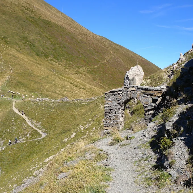
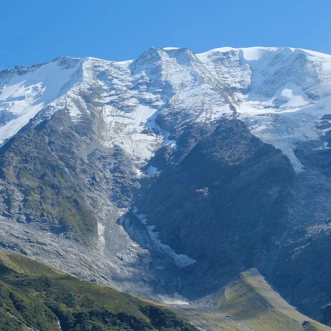
The first part of the stage follows the classic route as far as the Col de Voza, where you choose between the classic route and the variant via the Col de Tricot, the Chalets de Miage and Le Truc.
From the Col de Tricot, you can continue to the Refuge de la Balme, at 1,706 m5,597 ft, to spend the night, which makes for a longer day; otherwise, you can stop in Les Contamines to shorten the stage.
Points of interest: Col de Voza, Chalets de Miage, Col de Tricot (2,124 m6,969 ft)
Where to sleep?
- Refuge de la Balme
- Auberge du Truc, on the Col de Tricot variant, at 1,750 m5,741 ft
- La Balme bivouac area, 200 m from the refuge, which does not manage it, with water and toilets nearby; in 2026, online booking was mandatory (and free), says Asters, which manages the reserve
- You can also stop earlier in Les Contamines (campsite or hotel)
Practical info
See this route on the map
Interactive TMB map
We organize the logistics so you can focus on the trail. Get in touch with our experts today.
Direct contact with local TMB experts

Explore more itineraries
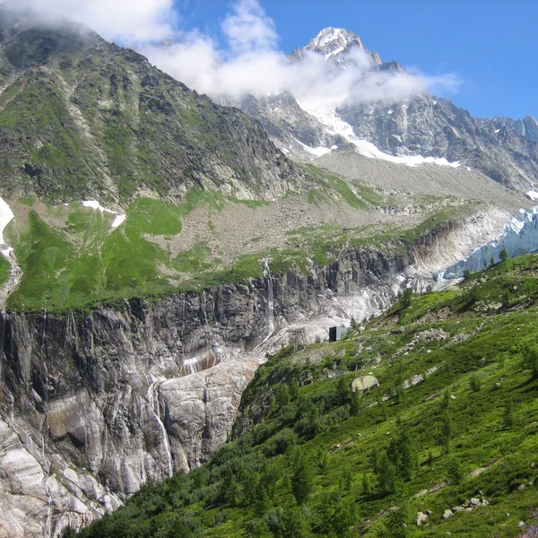
The Argentière Glacier
An easy walk from Lognan, above Argentière, to the viewpoint over the Argentière Glacier serac fall. Check whether the Grands-Montets cable car is running: it was closed all summer 2026.
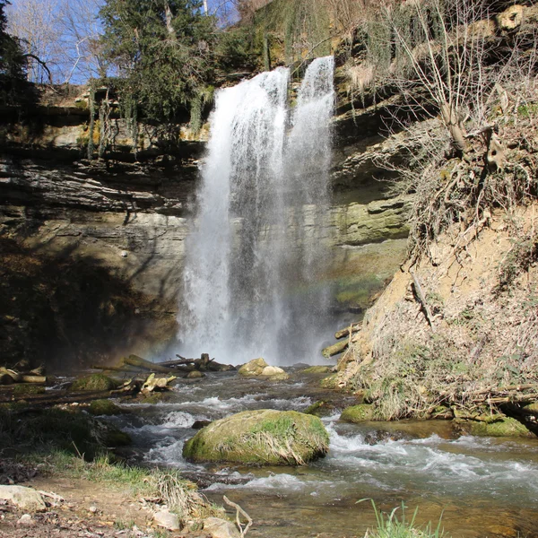
The Cascade du Dard
The Cascade du Dard is a short forest walk in the Chamonix valley to a 20 m66 ft waterfall at 1,233 m4,045 ft. An easy rest-day outing from the TMB.
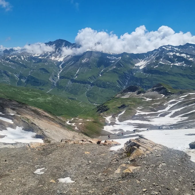
The Col des Fours
The Col des Fours variant, between the Col de la Croix du Bonhomme and the Ville des Glaciers, offers exceptional panoramic views of the Mont Blanc massif.
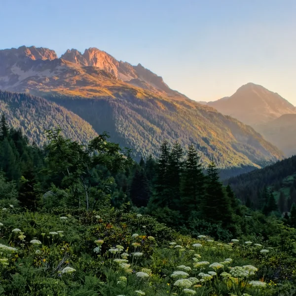
The Col des Montets
The Col des Montets variant crosses the Aiguilles Rouges Nature Reserve between Argentière and Vallorcine, with panoramic views of the Mont Blanc massif from the opposite side of the Chamonix valley.
The Fenêtre d'Arpette
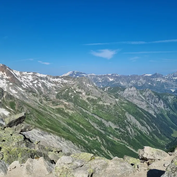
Often considered one of the most beautiful variants of the TMB, and one of the most demanding: a wild pass at 2,665 m8,743 ft with views of the Trient Glacier.
Tour du Mont Blanc in 10 Days
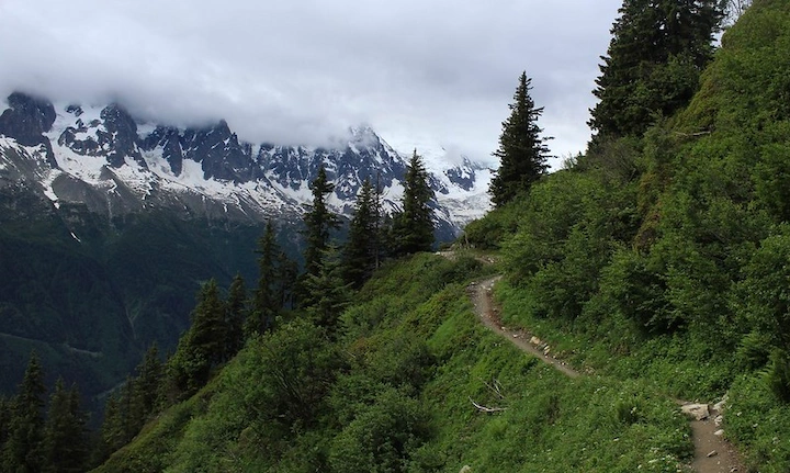
The TMB itinerary in 10 stages to fully enjoy the alpine scenery. A comfortable pace through France, Italy, and Switzerland.
Tour du Mont Blanc in 7 Days
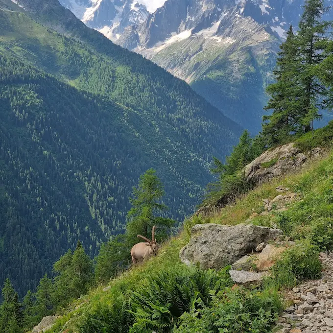
The classic TMB itinerary in 7 stages through France, Italy, and Switzerland. 157 km98 mi of spectacular trails around the Mont Blanc massif.
From our partner · 400+ Verified Traveler Reviews
"An absolutely stunning trek. The itinerary was perfect, and our guide was extraordinary - knowledgeable, attentive, and passionate about the mountains."
"Well-marked trails crossing three countries with breathtaking scenery. The refuges were comfortable and the mountain cuisine was excellent."
"Flawless organization from start to finish. The luggage transfer allowed us to hike light and truly enjoy every stage of the journey."
"An unforgettable trek around Mont Blanc. Every day brings new surprises - from Swiss glaciers to Italian pastures and the French Aiguilles."
"Excellent service. The roadbook was clear and precise, the accommodation well chosen, and the team available at all times when needed."
"The Tour du Mont Blanc is a classic for good reason. The variety of landscapes between France, Italy and Switzerland is remarkable."
"A fantastic experience. The stages are well balanced, the refuges welcoming, and the views of the Mont Blanc massif are unforgettable."
"An extraordinary journey that showed us Mont Blanc from every angle. The logistics were perfect and we only had to enjoy the trail."
"Superb organization. The variant options allowed us to adapt the trek to our fitness level. I recommend without hesitation."
"A complete and well-thought-out tour. The crossings between the three countries offer a unique cultural and scenic diversity. A must-do at least once in a lifetime."
Over 40 years of alpine expertise
Our partner agency has been operating in the Alps for over 40 years. Their team of passionate experts knows every trail, every refuge, and every season of the Tour du Mont Blanc.
Fully protected trips
Your investment is safe. We work exclusively with a licensed, bonded, and insured operator. 24/7 assistance and travel insurance included.
Itineraries designed by locals
No generic packages. Every itinerary is designed by a team of specialists who hike these trails themselves. Luggage transfer, dietary needs, and every logistical detail are handled for you.
A real team, not a call center
A dedicated team of a dozen specialists is available before, during, and after your trek. You speak directly to the people who designed your itinerary.