Tour du Mont Blanc Map

Tour du Mont Blanc Map

Every refuge and stage of the TMB across France, Italy and Switzerland - at a glance.

★★★★★ 4.7/5 · 400+ Verified Reviews
Updated on October 10, 2026

The Tour du Mont Blanc on an interactive map

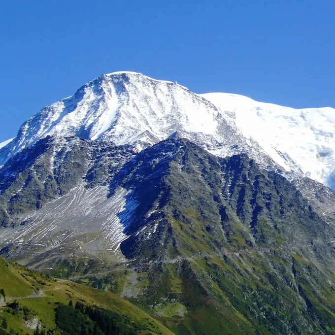
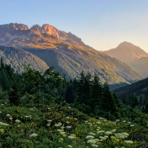
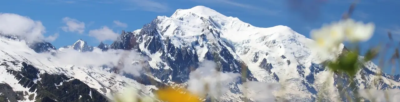
The Tour du Mont Blanc is a 170 km105.6 mi trek that loops around the Mont Blanc massif through three countries - France, Italy and Switzerland. The classic route takes 10 to 12 days, hut to hut, with about 10,000 m32,808 ft of cumulative elevation gain.

This interactive map gathers every refuge, gite and auberge on the official itinerary and its main variants. Click a pin to see the details and jump straight to the full refuge page.
Ready to hike?
START PLANNING

We organize the logistics so you can focus on the trail. Get in touch with our experts today.

Hugo - Hiking Expert
Hugo

Direct contact with our TMB experts

★★★★★ 4.7/5 · 400+ Verified Reviews

Set up the map

I'm hiking it in going

Show on the map

The tour
Variants
Sleep and hike
Elevation profile, indicative, from a terrain model.

Indicative elevation profile, from a terrain model.

  1. Distance
    25 km15.5 mi
    Gain
    1 483 m4,865 ft
    Loss
    820 m2,690 ft
    Time
    10 h
    Read the full stage
  2. Distance
    16 km9.9 mi
    Gain
    1 069 m3,507 ft
    Loss
    874 m2,867 ft
    Time
    6 h
    Read the full stage
  3. Distance
    24 km14.9 mi
    Gain
    1 155 m3,789 ft
    Loss
    1 815 m5,955 ft
    Time
    8 h
    Read the full stage
  4. Distance
    19 km11.8 mi
    Gain
    1 459 m4,787 ft
    Loss
    597 m1,959 ft
    Time
    7 h
    Read the full stage
  5. Distance
    28 km17.4 mi
    Gain
    1 219 m3,999 ft
    Loss
    1 644 m5,394 ft
    Time
    9 h
    Read the full stage
  6. Distance
    26 km16.2 mi
    Gain
    1 560 m5,118 ft
    Loss
    1 701 m5,581 ft
    Time
    9 h
    Read the full stage
  7. Distance
    27 km16.8 mi
    Gain
    1 893 m6,211 ft
    Loss
    2 434 m7,986 ft
    Time
    10 h
    Read the full stage

Waymarking on the Tour du Mont Blanc

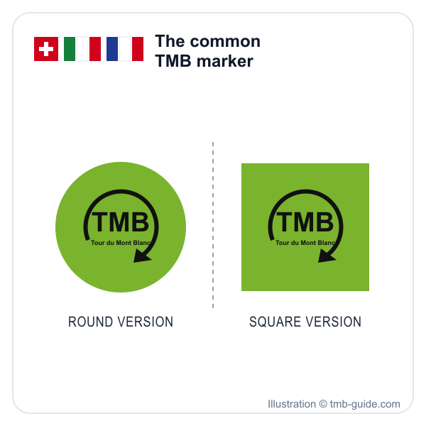
Green TMB logo of the Tour du Mont Blanc, round and square versions - illustration © tmb-guide.com

From start to finish, waymarks guide you along the TMB's French, Italian and Swiss trails. Painted or fixed on rocks, posts or walls, they change shape and colour from one country to the next. One sign never changes: the green "TMB" logo, round or square, placed next to the local waymarks so you can recognise the route all the way round.

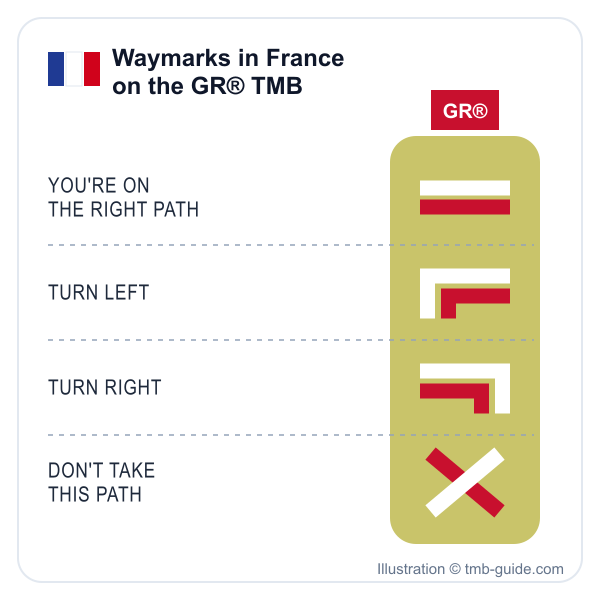
White and red GR® TMB waymarks in France: right path, turn left, turn right, wrong path - illustration © tmb-guide.com

Waymarking in France

In France, the TMB is a GR®, a long-distance trail approved by the French hiking federation, which calls it the "GR® TMB" (in French). Its white and red waymarks are set by the FFRandonnée's official waymarking charter (in French). On the trail, the marks are painted on rocks, walls or posts, closer together or further apart depending on the terrain.

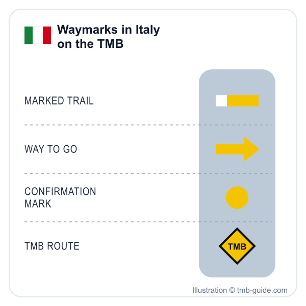
Yellow TMB waymarks in Italy: marked trail, arrow, confirmation dot, TMB diamond - illustration © tmb-guide.com

Waymarking in Italy

On the Italian side, you follow the TMB thanks to yellow marks: a stripe, an arrow, a dot, a triangle, or a black-edged diamond with "TMB" written inside. Signposts also carry letters giving the trail's difficulty: T, E, EE or EEA, according to the Aosta Valley regional government's tourism site (in French).

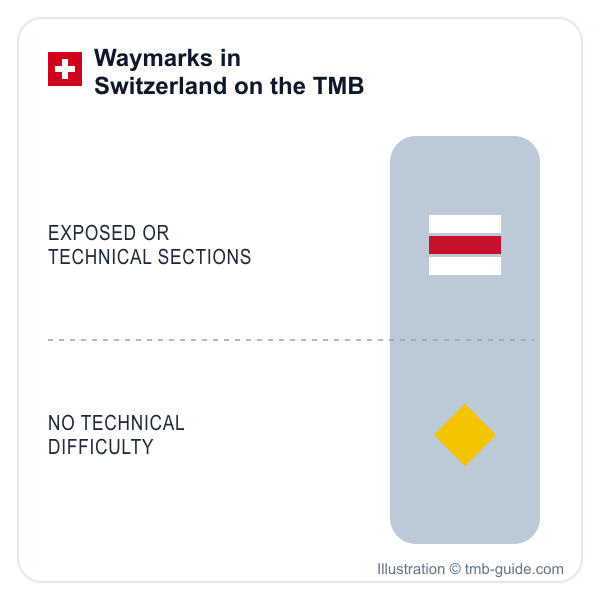
TMB waymarks in Switzerland: white-red-white for exposed or technical sections, yellow with no technical difficulty - illustration © tmb-guide.com

Waymarking in Switzerland

In Switzerland, two kinds of markings share the TMB, in colour on the signposts or painted on rocks and posts. Yellow shows hiking trails with no technical difficulty. White-red-white marks mountain hiking trails, which may include exposed or technical sections; Swiss Hiking (Suisse Rando) (in French) describes them as partly crossing terrain that is hard to walk.

Simplified illustrations © tmb-guide.com.

Tour du Mont Blanc Itineraries

Here you will find the full tour in 7 or 10 days, the variants that cross higher passes than the main trail, and day hikes around the massif if you don't have time for the whole loop. Each page details the stages, the elevation and where to sleep.

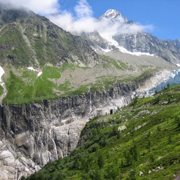
View of the Argentière Glacier and its seracs from above Lognan
Day Hike
Easy

The Argentière Glacier

An easy walk from Lognan, above Argentière, to the viewpoint over the Argentière Glacier serac fall. Check whether the Grands-Montets cable car is running: it was closed all summer 2026.

Distance
3,5 km2.2 mi
Gain
90 m295 ft
Loss
90 m295 ft
View Itinerary
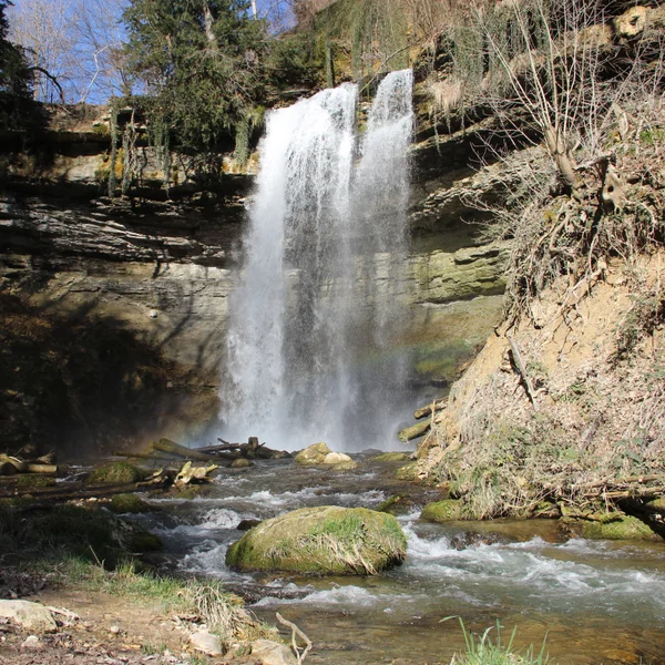
The Cascade du Dard in the forest of the Chamonix valley
Day Hike
Easy

The Cascade du Dard

The Cascade du Dard is a short forest walk in the Chamonix valley to a 20 m66 ft waterfall at 1,233 m4,045 ft. An easy rest-day outing from the TMB.

Distance
0,8 km0.5 mi
Gain
30 m98 ft
Loss
30 m98 ft
View Itinerary
Panoramic view from the Col de Tricot on the Tour du Mont Blanc
Day Hike
Hard

The Col de Tricot

The Col de Tricot variant leaves the classic TMB at the Col de Voza and reaches Les Contamines via the Chalets de Miage and Le Truc, with views of the Aiguille de Bionnassay and the Dômes de Miage.

Distance
30 km18.6 mi
Gain
2 653 m8,704 ft
Loss
1 977 m6,486 ft
View Itinerary
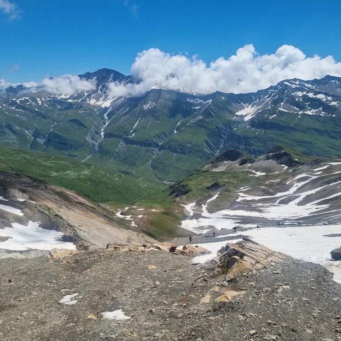
View from the Col des Fours on the Tour du Mont Blanc
Day Hike
Easy

The Col des Fours

The Col des Fours variant, between the Col de la Croix du Bonhomme and the Ville des Glaciers, offers exceptional panoramic views of the Mont Blanc massif.

Distance
13 km8.1 mi
Gain
1 080 m3,543 ft
Loss
877 m2,877 ft
View Itinerary
Trail through the Aiguilles Rouges Nature Reserve with views of the Mont Blanc massif at Col des Montets
Day Hike
Medium

The Col des Montets

The Col des Montets variant crosses the Aiguilles Rouges Nature Reserve between Argentière and Vallorcine, with panoramic views of the Mont Blanc massif from the opposite side of the Chamonix valley.

Distance
10 km6.2 mi
Gain
550 m1,804 ft
Loss
540 m1,772 ft
View Itinerary
Fenêtre d'Arpette with a view of the Trient Glacier
Day Hike
Hard

The Fenêtre d'Arpette

Often considered one of the most beautiful variants of the TMB, and one of the most demanding: a wild pass at 2,665 m8,743 ft with views of the Trient Glacier.

Distance
22 km13.7 mi
Gain
1 938 m6,358 ft
Loss
2 026 m6,647 ft
View Itinerary
Grand Balcon Sud trail with views of the Mont Blanc massif
10 Days
Medium

Tour du Mont Blanc in 10 Days

The TMB itinerary in 10 stages to fully enjoy the alpine scenery. A comfortable pace through France, Italy, and Switzerland.

Distance
170 km105.6 mi
Gain
10 000 m32,808 ft
Loss
10 000 m32,808 ft
View Itinerary
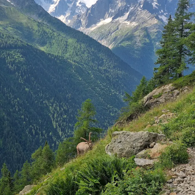
Ibex on the Tour du Mont Blanc with the massif in the background
7 Days
Medium

Tour du Mont Blanc in 7 Days

The classic TMB itinerary in 7 stages through France, Italy, and Switzerland. 157 km98 mi of spectacular trails around the Mont Blanc massif.

Distance
157 km97.6 mi
Gain
9 786 m32,106 ft
Loss
9 462 m31,043 ft
View Itinerary

Tour du Mont Blanc Refuges

Mountain refuges, gites and village auberges: here are some of the 48 places to stay on the map. Each page gives the elevation, capacity and opening season, so you can choose where to stop for the night. The full list is on the refuges page.
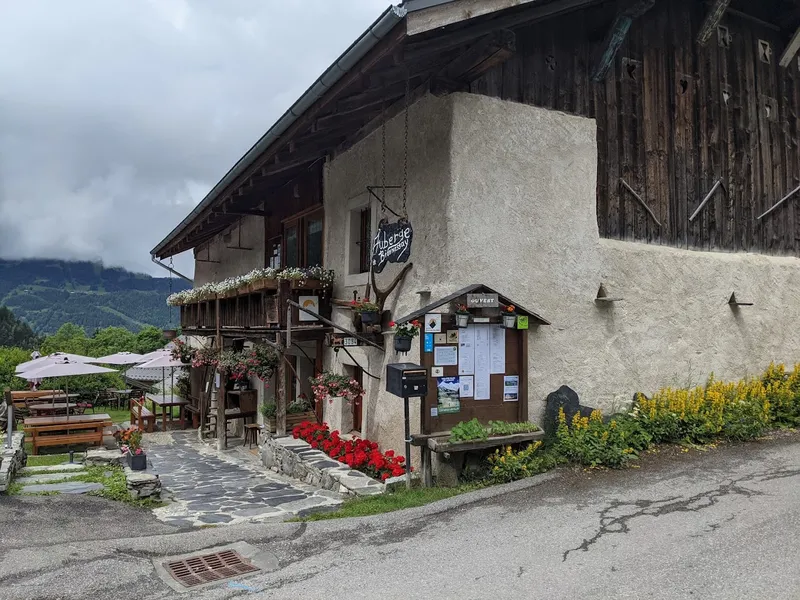
Auberge De Bionnassay (1320m), Saint Gervais - France

Auberge De Bionnassay (1320m), Saint Gervais - France

Traditional guesthouse in Saint Gervais, a popular stop on the Tour du Mont Blanc.

Elevation 1 320 m4,331 ft
Capacity 38 people
Season June - September
View Refuge
Auberge Des Glaciers (1600m), La Fouly - Switzerland

Auberge Des Glaciers (1600m), La Fouly - Switzerland

Welcoming guesthouse in La Fouly, Switzerland, offering mountain comfort on the TMB.

Elevation 1 600 m5,249 ft
Capacity 56 people
Season June - September
View Refuge
Auberge Du Truc (1750m), Saint Gervais - France

Auberge Du Truc (1750m), Saint Gervais - France

Alpine guesthouse perched at 1750m with exceptional panoramic views of the Mont Blanc massif.

Elevation 1 750 m5,741 ft
Capacity 28 people
Season June - September
View Refuge
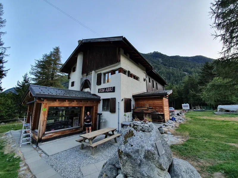
Auberge Gite Bon Abri (1444m), Champex-Lac - Switzerland

Auberge Gite Bon Abri (1444m), Champex-Lac - Switzerland

A peaceful haven in Champex-Lac, Switzerland, ideal for recharging on the TMB.

Elevation 1 444 m4,738 ft
Capacity 59 people
Season June - September
View Refuge
Auberge La Boerne (1395m), Chamonix - France

Auberge La Boerne (1395m), Chamonix - France

Historic 18th century chalet in Chamonix, offering warm accommodation on the TMB.

Elevation 1 395 m4,577 ft
Capacity 31 people
Season Year-round (closed mid-November to early December)
View Refuge
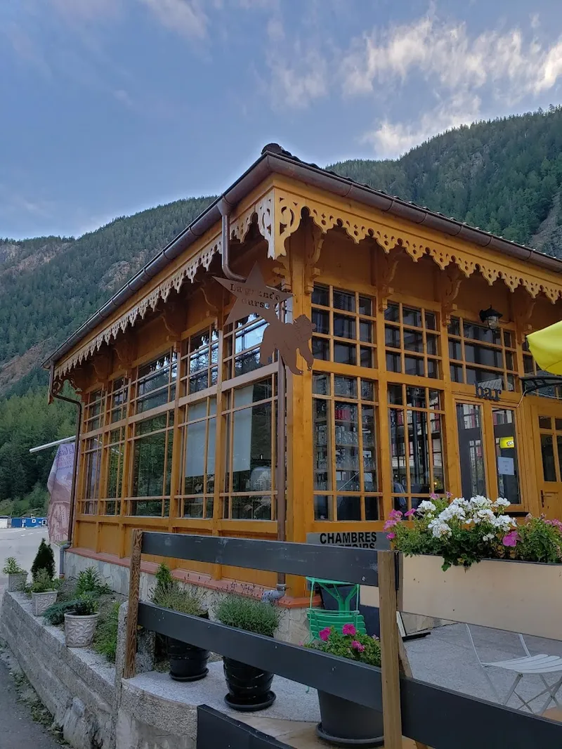
Auberge La Grande Ourse (1300m), Trient - Switzerland

Auberge La Grande Ourse (1300m), Trient - Switzerland

Charming guesthouse in Trient, Switzerland, offering diverse accommodation options on the TMB.

Elevation 1 300 m4,265 ft
Capacity 80 people
Season June - September
View Refuge
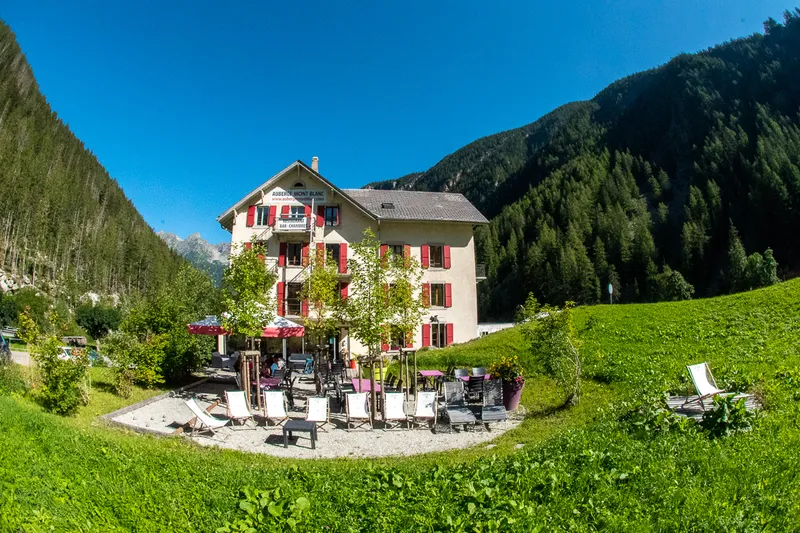
Auberge Mont-Blanc (1300m), Trient - Switzerland

Auberge Mont-Blanc (1300m), Trient - Switzerland

Guesthouse in Trient with comfortable dormitories, private rooms and half-board.

Elevation 1 300 m4,265 ft
Capacity 120 people
Season May - September
View Refuge
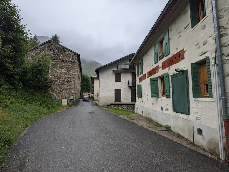
Auberge Refuge De La Nova (1554m), Bourg Saint Maurice - France

Auberge Refuge De La Nova (1554m), Bourg Saint Maurice - France

Mountain refuge in Bourg Saint Maurice, a stop on the GR TMB with half-board and free hot showers.

Elevation 1 554 m5,098 ft
Capacity 65 people
Season June - September
View Refuge
Cabane Du Combal (1968m), Courmayeur - Italy

Cabane Du Combal (1968m), Courmayeur - Italy

Authentic accommodation nestled at 1968m in Courmayeur, on the TMB route in Italy.

Elevation 1 968 m6,457 ft
Capacity 23 people
Season June - September
View Refuge
Chalet 'Le Dolent' (1634m), La Fouly - Switzerland

Chalet 'Le Dolent' (1634m), La Fouly - Switzerland

Peaceful refuge in La Fouly, Switzerland, at the foot of the Alps on the TMB.

Elevation 1 634 m5,361 ft
Capacity 30 people
Season Year-round
View Refuge
★★★★★ 4.7/5

From our partner · 400+ Verified Traveler Reviews

Plus de 40 ans d'expertise alpine

Notre agence partenaire opère dans les Alpes depuis plus de 40 ans. Leur équipe de passionnés connaît chaque sentier, chaque refuge et chaque saison du Tour du Mont Blanc.

Voyages entièrement protégés

Votre investissement est en sécurité. Nous travaillons exclusivement avec un opérateur agréé, cautionné et assuré. Assistance 24h/24 et assurance voyage incluses.

Itinéraires conçus par des locaux

Pas de forfaits génériques. Chaque itinéraire est conçu par une équipe de spécialistes qui parcourent ces sentiers eux-mêmes. Transfert de bagages, besoins alimentaires et chaque détail logistique sont gérés pour vous.

Une vraie équipe, pas un centre d'appels

Une équipe dédiée d'une douzaine de spécialistes est disponible avant, pendant et après votre trek. Vous parlez directement aux personnes qui ont conçu votre itinéraire.